Peace Trail
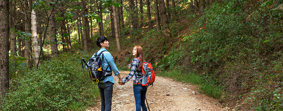
Trekking
Peace Trail
Yeoncheon Peace Trail is connected to existing lanes through rice paddies, fields, and river banks, trails along the Demilitarized Zone, and three trails (65.6km) that connect Jangnamgyo Bridge and Inverted Icicles in Yeoncheon-gun. The average distance of each course is about 20 kilometers, and an adult with normal physical strength can finish each course in about four to five hours on foot. While walking along the Peace Trail, visitors are able to gain peace of mind and feel a healthy body and mind through the fresh air and the clean energy of nature.
1st Course of Gorangpo-gil (Course 10)
Entrance of Jangnamgyo Bridge (Wondang-ri) - Sunguijeon Hall 16.2 kilometers (approximately 5 hours and 55 minutes)
Jangnamgyo Bridge
Jangnam-myeon Office
Samicheongyo Bridge
Jeondonggyo Bridge
Biryong Bridge
Gumi Bridge
Sunguijeon Hall
This section is a 20-kilometer-long section that requires drinks and snacks as well as endurance. While walking along the stream of Imjingang River, visitors will be able to enjoy short and long columnar joints and a beautiful view of the Imjingang River.
2nd Course of Imjin Jeokbyeok-gil (Course 11)
Sunguijeon Hall - Gunnam Flood Control Site 18.4 kilometers (approximately 5 hours and 30 minutes)
Sunguijeon Hall
Dangposeong Fortress
Imjingang Columnar Joints
Imjingyo Bridge
Herb Village
Gunnam Flood Control Site
This section requires thorough preparation as there are very few residents here. Starting from Sunguijeon Hall that enshrines four kings, including King Taejo of Goryeo, and 16 meritorious retainers, visitors can enjoy the columnar joints in Dongi-ri along Imjingang River. Herb Village offers visitors the fragrance of herbs and European elegance, as well as various views of nature through the fields, riversides, and hills of clean and clear Yeoncheon. As the spicy fish soup in restaurants near the Imjingang River tastes excellent, it is a bargain trekking course where visitors can enjoy all the fun of seeing, trekking, and eating.
3rd Course Tongilieum-gil (Course 12)
Gunnam Flood Control Site - Inverted Icicle 28.2 kilometers (approximately 7 hours)
Gunnam Flood Control Site
Lohas Park
Daegwanggyo Bridge
5th Infantry Division boot camp
Sintanri Station Railroad End of the Railroad (former Gyeongwon Line Northernmost Point)
Inverted Icicle
The trail in the quiet forest continues more than 5 kilometers, offering visitors a unique experience. The section from Lohas Park through Daegwanggyo Bridge to Sintan-ri Station (former Gyeongwon Line Northernmost Point) offers the unique experience of walking along the embankment lane side to the Chatancheon Stream. In Lohas Park, wetlands have been created to allow visitors to enjoy beautiful lotus flowers that fill up the pond, and the area surrounding Sintanri Station located at the end of Tongilieum-gil sells duck with mountain herbs and barley rice dishes with wild herbs and vegetables that have gone viral.